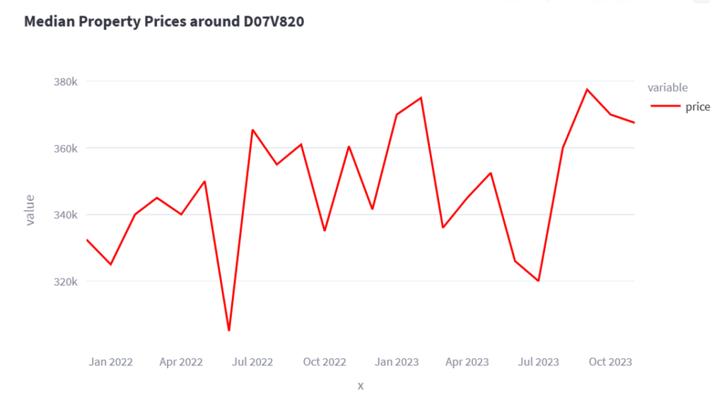
I have updated the Property Price Register application.
Property Price Register – Mapped
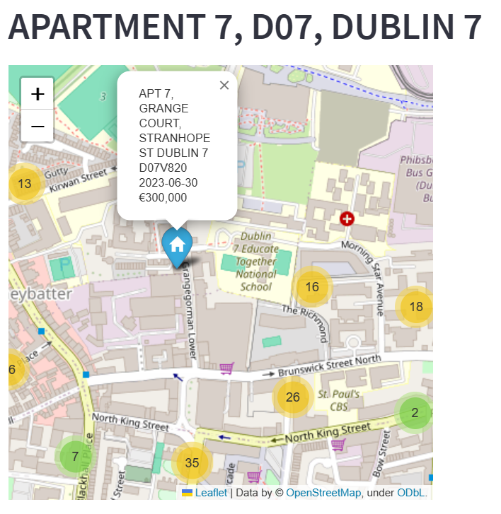
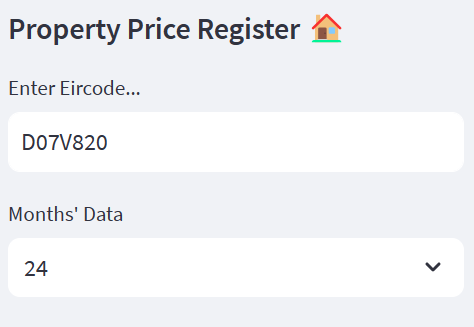
As well as being able to enter an eircode or area code, and seeing all the properties that sold in this area in the last 2 years, the application now generates a description about the area. This feature uses OpenAI to generate the description, and the results so far look promising.
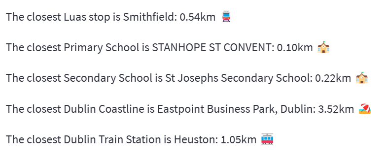
Separately, the application also works out the closest distance to luas stops, train stations, schools and coastline. Some of these are Dublin specific but will be expanded when I get the time and data to implement.
Please let me know any comments or suggestions below.
